Zoom Out


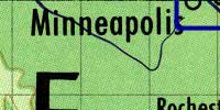
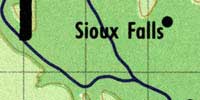
Level Two-Base Topo Map

No one knew just where features were located in this area until nearly 1840. The Couteau remains more than a little mysterious. More soon. Five more levels of zoom are available in the demo core on the Saint Paul Riverfront and Flats. Five more levels of zoom are available in the demo core on the Saint Paul Riverfront and Flats.
The draws and coulees west of the Missouri, near Cedar Creek, lead into the buffalo grass prairie. More soon. Five more levels of zoom are available in the demo core on the Saint Paul Riverfront and Flats. Five more levels of zoom are available in the demo core on the Saint Paul Riverfront and Flats.
The eyes of the world will be on this stretch of the Mississippi in 2004. Click here or on the Grand Excursion button above to learn more.